Spring Academic Conference Travel Details
Address & Directions
Asbury University
Kinlaw Library
1 Macklem Dr
Wilmore, KY 40390
Google Maps Directions:
Click here to go to google maps and input your starting location.
Directions provided by AU:
FROM THE NORTH (CINCINNATI)
- Take I-75 South. After I-64 joins with I-75, take the first Lexington exit (Exit 115).
- Turn right, which will be Kentucky 922, also called Newtown Pike, and go past the Marriott (about 2 miles).
- Exit onto Route 4 (New Circle Road) and turn right (this circles Lexington). Drive for 5 exits to Route 68 (Harrodsburg Road).
- Turn right onto Route 68 and follow for about 10 miles, until Route 29 joins with this road from the left.
- Shortly after the first Route 29 intersection, follow 29 as it goes straight at a fork (there will be green Asbury University signs and a gas station on the corner). Be careful, oncoming traffic has the right-of-way.
- The University will be on the right after the first stoplight.
FROM THE WEST (LOUISVILLE)
- Take I-64 East to Route 60 (Exit 58).
- Follow Route 60 toward Lexington and Versailles (it will turn left near Versailles).
- Keeneland (a horse track) will be on your left and the airport on your right; turn right (you can’t turn left) at the first light after the airport onto Man-O’-War Blvd.
- Go about 3 miles (past a high school) to Route 68 (Harrodsburg Road). This will be the first 4-lane road you intersect.
- Turn right onto Route 68 and follow for about 9 miles, until Route 29 joins with this road from the left.
- Shortly after the first Route 29 intersection, follow 29 as it goes straight at a fork (there will be green Asbury University signs and a gas station on the corner). Be careful, oncoming traffic has the right-of-way.
- The University will be on the right after the first stoplight.
FROM THE EAST (WEST VIRGINIA)
- Take I-64 West to I-75 South.
- Follow I-75 South to Exit 108 (Man-O-War Blvd).
- Turn west onto Man-O’-War Blvd.
- Follow Man-O’-War Blvd. until you reach Nicholasville Road (US 27). Turn left (south) and follow for about 8 miles.
- Exit right onto Route 29 to Wilmore (it will be the first limited-access-style exit you encounter). Turn left when you reach a T-intersection with Route 68. The two roads combine to head south for about half a mile.
- Follow 29 as it goes straight at a fork (there will be green Asbury University signs and a gas station on the corner). Be careful, oncoming traffic has the right-of-way.
- The University will be on the right after the first stoplight.
FROM THE SOUTH (TENNESSEE, VIA I-75)
- Take I-75 North to the first Lexington exit (Exit 104).
- This is Highway 418 (eventually Richmond Road). Follow this road several miles until you get to Man-O’-War Blvd. (this will be another 4-lane road).
- Turn left (west) onto Man-O’-War Blvd.
- Follow Man-O’-War Blvd. until you reach Nicholasville Road (US 27). Turn left (south) and follow for about 8 miles.
- Exit right onto Route 29 to Wilmore (it will be the first limited-access-style exit you encounter). Turn left when you reach a T-intersection with Route 68. The two roads combine to head south for about half a mile.
- Follow 29 as it goes straight at the fork (there will be green Asbury University signs and a gas station on the corner). Be careful, oncoming traffic has the right-of-way.
- The University will be on the right after the first stoplight.
FROM THE SOUTH (TENNESSEE, VIA I-65)
- Take I-65 North to the Bluegrass Parkway exit (Exit 93).
- Follow the Bluegrass Parkway all the way to its end, which is at Route 60
- Take Route 60 toward Lexington; Keeneland (a horse track) will be on your left and the airport on your right.
- Turn right (you can’t turn left) at the first light after the airport, onto Man-O’-War Blvd.
- Go about 3 miles (past high school) to Harrodsburg Road (the first 4-lane road you intersect). This is also called Route 68.
- Turn right onto Route 68 and follow for about 9 miles, until Route 29 joins with this road from the left.
- Shortly after the first Route 29 intersection, follow 29 as it goes straight at the fork (there will be green Asbury University signs and a gas station on the corner). Be careful, oncoming traffic has the right-of-way.
- The University will be on the right after the first stoplight.
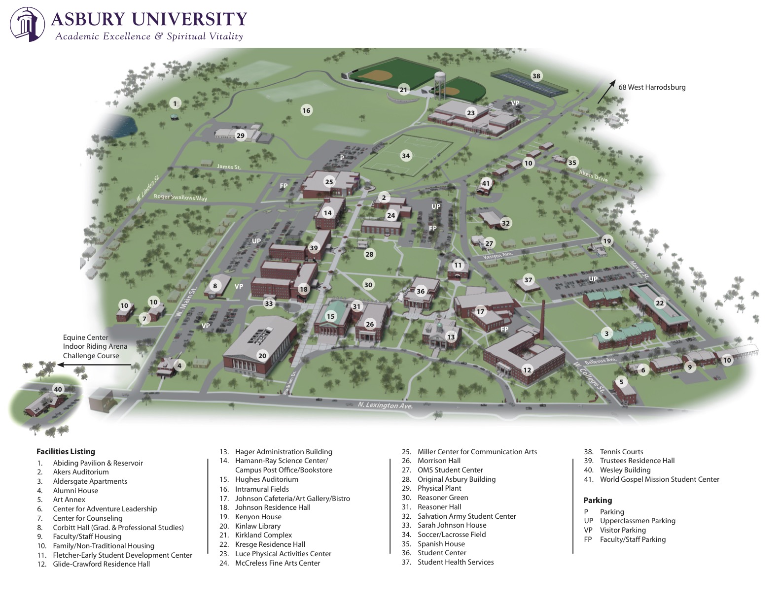
Campus Map
Map & Directions:
https://www.asbury.edu/about/campus/maps-directions/
Map of General Conference area:
|